

Ke Ala Hele Makalae Path
Ke Ala Hele Makalae is an 8-mile paved coastal greenway offering easy, accessible walking, cycling, and oceanfront views along Kauaʻi's Royal Coconut Coast. It features interpretive panels, whale-spotting pull-outs, and amenities suitable for families and mobility-impaired visitors.
- Paved multi-use path suitable for walking, running, cycling, skating, strollers, and wheelchairs
- Continuous oceanfront vistas with sunrise and winter whale-spotting opportunities
- Interpretive panels on sea-life and plantation-era railroad history
- Restrooms, outdoor showers, picnic tables, water fountains, and shaded pavilions
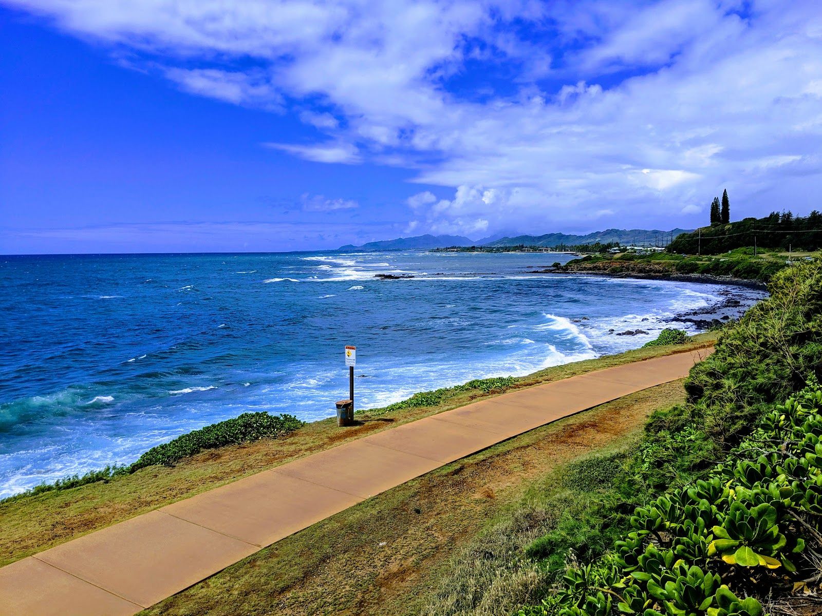
Ke Ala Hele Makalae Path is Kauaʻi’s eastern shoreline bike-and-walk route, a paved multi-use path that stretches through the Coconut Coast around Wailua and Kapaʻa. It stands out because it delivers big ocean scenery without the logistics of a strenuous hike: flat grades, vehicle-free stretches, and easy access from several beach parks make it one of the island’s most flexible outdoor outings. For travelers who want a simple, scenic way to move between beaches, town, and shoreline viewpoints, it fits neatly into a morning, a sunset stroll, or a half-day ride.
The path’s personality: easygoing, exposed, and very coastal
The appeal here is the rhythm of the route itself. Ke Ala Hele Makalae follows the coast on a paved surface that works for walking, jogging, cycling, skating, wheelchairs, and strollers. Parts of it reuse an old sugar cane railway corridor, which helps explain the broad, direct alignment and the sense that the path is made for easy movement rather than challenge.
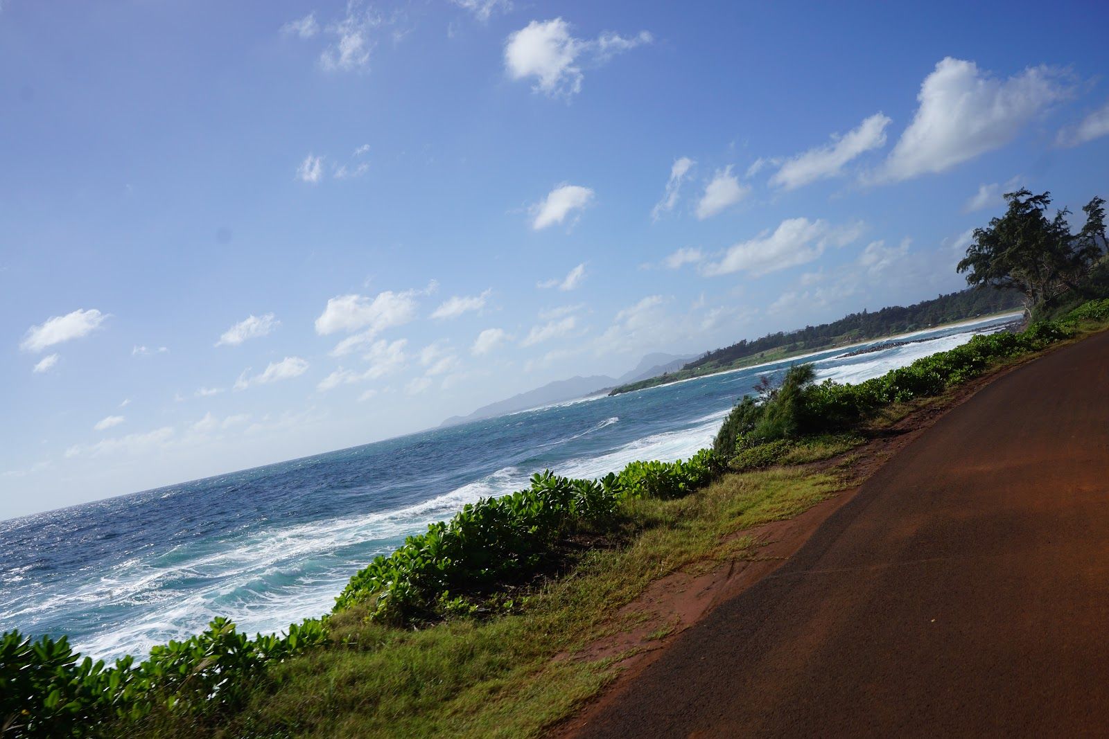
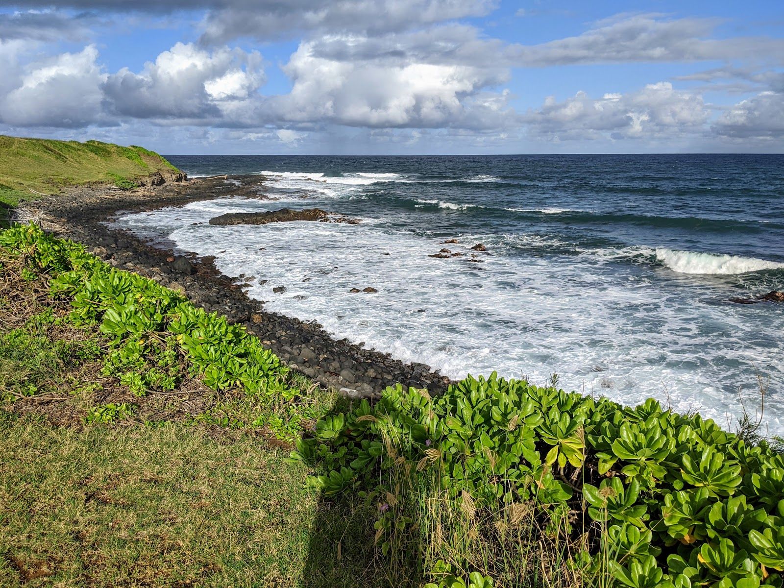
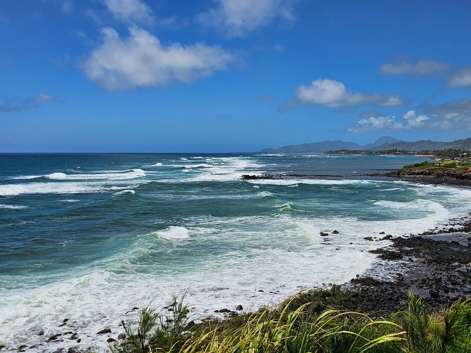
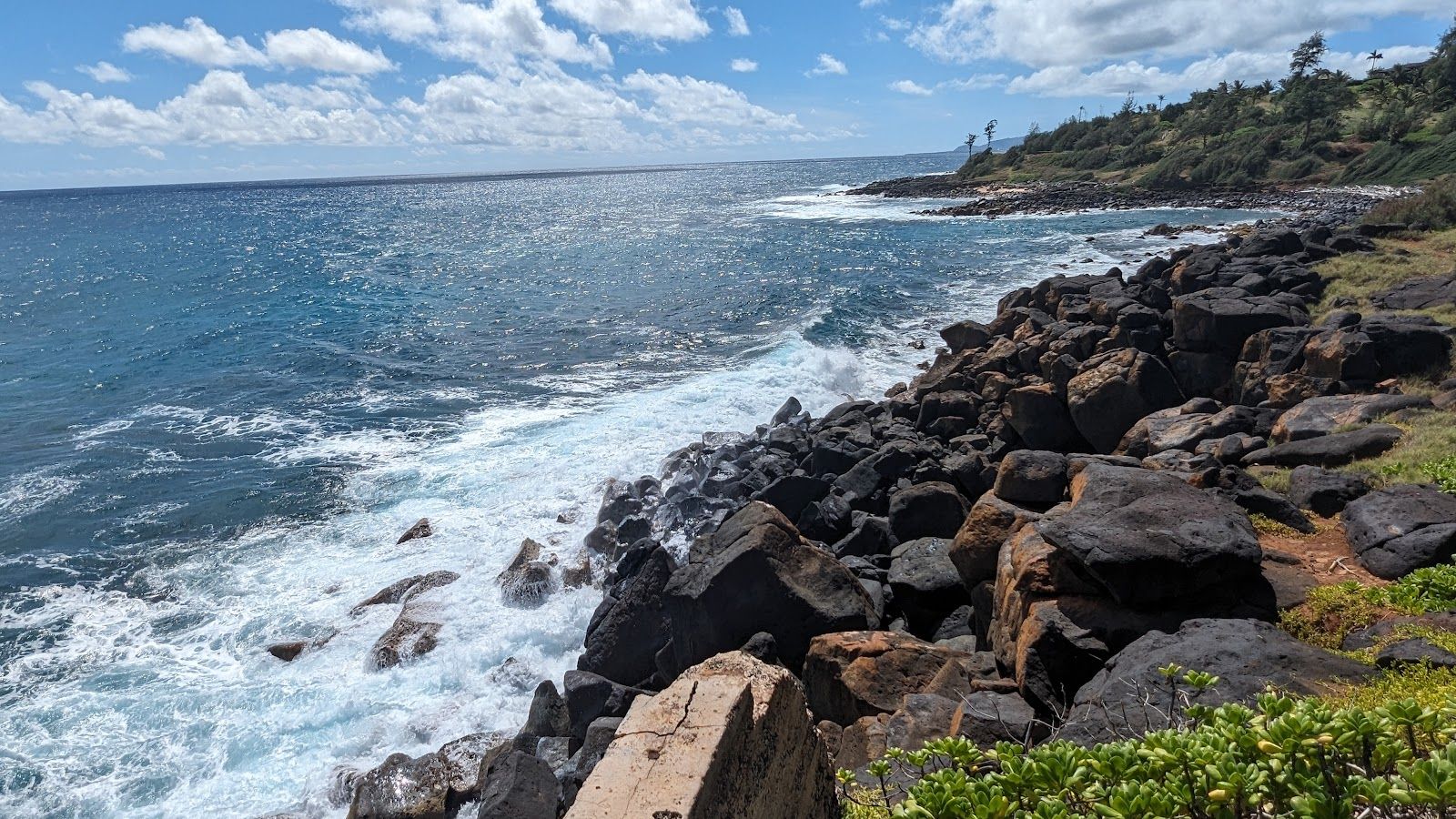
Expect open views, ocean breezes, and relatively little shade, especially in the longer stretches north of Kapaʻa. The path’s mood changes as it passes different anchors along the shoreline: the protected ponds at Lydgate Beach Park, the mouth of the Wailua River, the shops and eateries around Kapaʻa town, and the surfier edges near Kealia Beach. Along the way, interpretive signs add context on local history, culture, and wildlife, so this is more than just a pretty route between destinations.
How to use it in a Kauaʻi day
This path works well as a flexible itinerary block rather than a destination that demands a full-day commitment. A short out-and-back stroll can take less than an hour. A longer bike ride through the main Kapaʻa-to-Ahihi Point section is an easy morning outing, while walkers can turn the same stretch into a more leisurely coastal ramble.
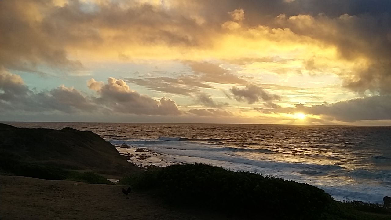
It also pairs naturally with nearby stops. Start at Lydgate for the protected swimming ponds, continue into Kapaʻa for coffee or a casual meal, or head north toward Kealia for a more open shoreline feel. Sunrise is a particularly strong time here, when the light hits the water and the route is usually cooler and quieter. In winter, the northern end can be a good shore-based vantage point for humpback whales.
Parking and access are straightforward at major trailheads such as Lydgate Beach Park, Kapaʻa Beach Park, Waipouli Beach Park, and Kealia Beach. The path is free to use, and bike rentals are widely available in Kapaʻa for travelers who don’t want to bring their own wheels.
The main tradeoffs: sun, congestion, and a few gaps
The biggest drawback is exposure. Large sections have very little shade, so sun protection and water matter even on a breezy day. Cyclists should also be ready for crosswinds near the shore.
The route is not yet one perfectly continuous line. There are separate completed segments, and a small gap in the Waipouli area means some users need to transition briefly onto an unpaved surface. That does not make the experience difficult, but it does mean the route is better understood as a linked coastal corridor than a single uninterrupted trail.
Crowding can also be part of the picture, especially close to Kapaʻa town and at popular access points. The path is comfortable and family-friendly, but it is not the place for solitude or a rugged backcountry feel. It is also wise to keep ocean safety in mind: the shoreline beside the path can look inviting, but swimming should be limited to protected or lifeguarded areas, such as the ponds at Lydgate.
Best fit for families, casual riders, and low-key coastal days
Ke Ala Hele Makalae Path is ideal for families, casual cyclists, walkers, joggers, and travelers who want an accessible outdoor option with a strong sense of place. It is one of the best choices on Kauaʻi for visitors with mobility challenges or anyone who prefers paved, gentle terrain over steep or technical trails.
Travelers looking for rugged hiking, quiet seclusion, or dramatic elevation gain should look elsewhere. But for a relaxed coastal outing that still feels distinctly Kauaʻi, this path is a smart and useful part of an East Side itinerary.